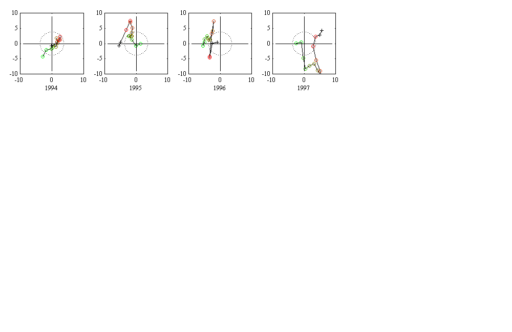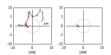
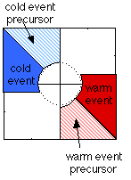
Looking back to the past 5 cold events, we can see 2 categories of movement after the peak of a La Nina: 1) overshoot to the third quadrant (1970, 1975 and 1988), resulting in a normal or warm condition the following winter; 2) move back the inner circle (1973 and 1983), resulting in a somewhat continuous cold condition. The current wind pattern seems to belong to the second category.
Each POP figure represents one-year's wind evolution, with the greenest circle being January of the year and the reddest circle being December of the year. The two '+'s represent January and February of next year. In the 1997 POP figure, the 'x' represents the most recent month whose data has not been filtered.
Reference: Tang, B., 1995: Periods of linear development of the ENSO cycle and POP forecast experiments. J. Climate, 8, 682-691 Abstract